

Caney Fork River
The Caney Fork River is a year round fishery and is mainly fished from spring to fall. The Caney Fork is the tailwater to Center Hill Dam in Buffalo Valley, Tennessee. There are several public access locations on the river: Buffalo Valley, Long Branch, Lancaster, Train Trestle, Happy Hollow, Interstate 40 Rest Area, Betty’s Island, Stonewall Bridge and the Carthage Ball Fields. Please refer to “River Access” for type of access; wading and/or boat launch.
The river is broken up into three sections: Upper, Middle, and Lower. The Upper Section of the river is from the Center Hill Lake Dam to Betty’s Island, the Middle Section of the river is from Betty’s Island to Stonewall Bridge, and the Lower Section is below Stonewall to the Carthage Ball Fields. Most of the river access is for wading and/or floating in the Upper Section, which constitutes The Dam, Long Branch, Lancaster, Happy Hollow, Interstate Rest Area and Betty’s Island.
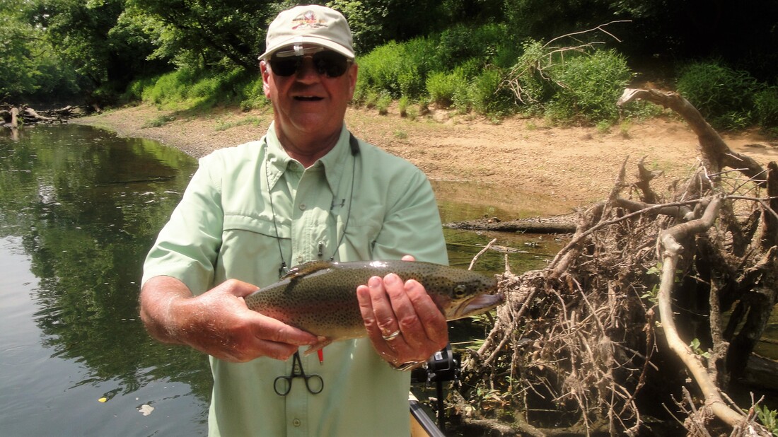
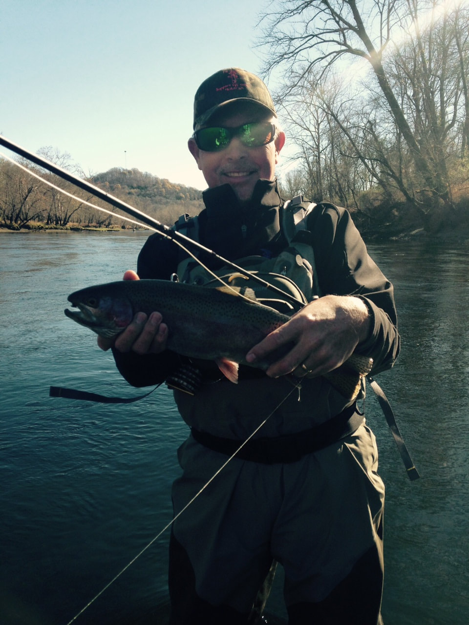
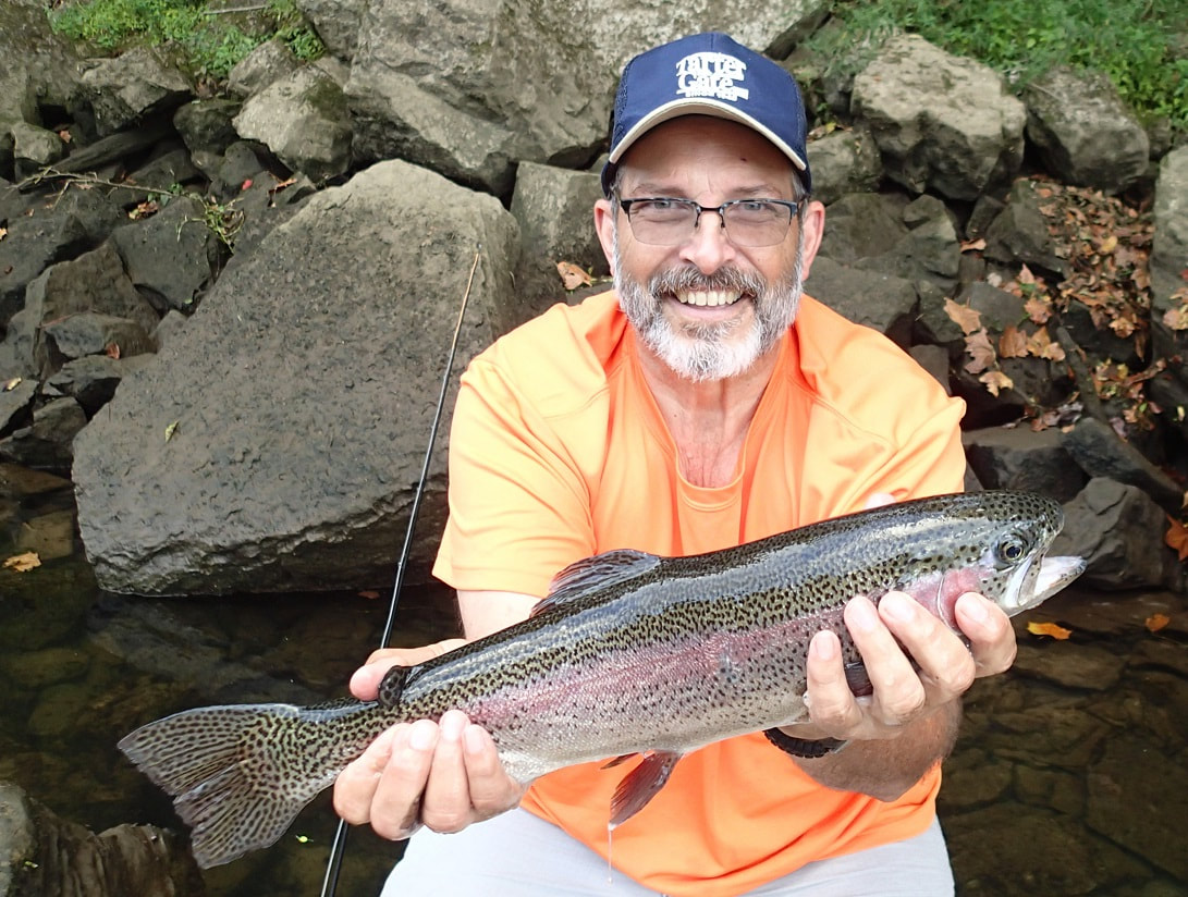
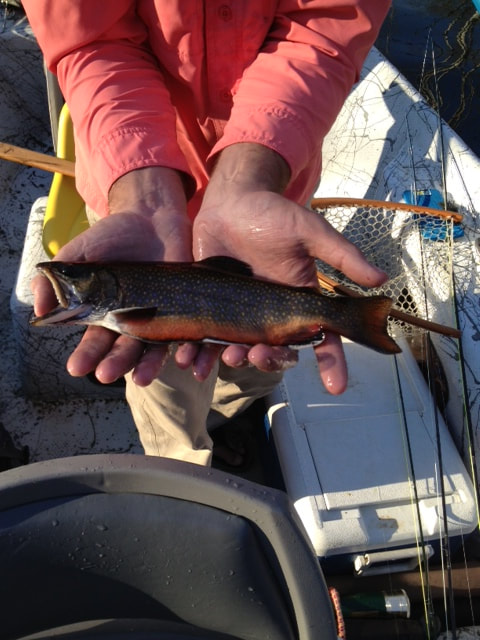
The Caney Fork is stocked with Brown, Brook, and Rainbow Trout and currently does not have a “Catch & Release” section of the river. The club supports the “Catch and Release” philosophy, but if you plan on keeping fish, please review the Tennessee Fishing Regulations for the Caney Fork River.
The Caney Fork River is a year round fishery and is mainly fished from spring to fall. The Caney Fork is the tailwater to Center Hill Dam in Buffalo Valley, Tennessee. There are several public access locations on the river: Buffalo Valley, Long Branch, Lancaster, Train Trestle, Happy Hollow, Interstate 40 Rest Area, Betty’s Island, Stonewall Bridge and the Carthage Ball Fields. Please refer to “River Access” for type of access; wading and/or boat launch.
The river is broken up into three sections: Upper, Middle, and Lower. The Upper Section of the river is from the Center Hill Lake Dam to Betty’s Island, the Middle Section of the river is from Betty’s Island to Stonewall Bridge, and the Lower Section is below Stonewall to the Carthage Ball Fields. Most of the river access is for wading and/or floating in the Upper Section, which constitutes The Dam, Long Branch, Lancaster, Happy Hollow, Interstate Rest Area and Betty’s Island.
The Caney Fork is stocked with Brown, Brook, and Rainbow Trout and currently does not have a “Catch & Release” section of the river. The club supports the “Catch and Release” philosophy, but if you plan on keeping fish, please review the Tennessee Fishing Regulations for the Caney Fork River.
Fishing Access Type:
Drift Boat with no to moderate generation
Motor Boat with generation
Kayak with no to moderate generation
Wading with no generation
Drift Boat with no to moderate generation
Motor Boat with generation
Kayak with no to moderate generation
Wading with no generation
Fishing Access:
Buffalo Valley Ramp & Steps
Long Branch Campground Boat Ramp
Lancaster Hwy Pull Offs
Happy Hallow Boat Ramp
Betty's Island Boat Ramp
Kirby Road Pull Off
Stonewall Bridge
Buffalo Valley Ramp & Steps
Long Branch Campground Boat Ramp
Lancaster Hwy Pull Offs
Happy Hallow Boat Ramp
Betty's Island Boat Ramp
Kirby Road Pull Off
Stonewall Bridge
Fishing Style:
Nymphing
Stripping Streamers
Dry Flies
Nymphing
Stripping Streamers
Dry Flies
Equipment:
4wt to 8wt rod
4wt to 8wt rod
Flies: Hatch Chart (click on Hatch Chart for link)
Water Flow:
Lake-Levels/Center-Hill (click on Lake-Levels for link)
Lake-Levels/Center-Hill (click on Lake-Levels for link)
Species: Rainbow Trout, Brown Trout, Brook Trout, Brim, Striper
Misc. Information: Fishing License