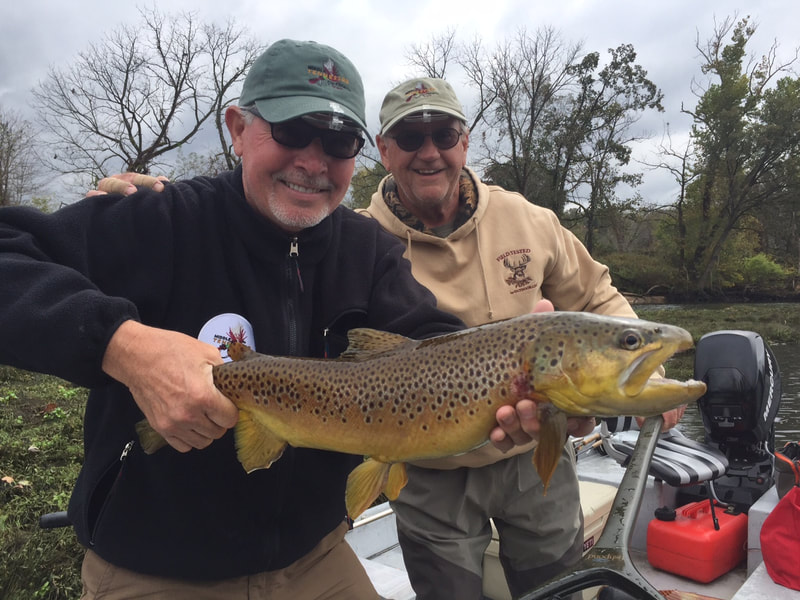
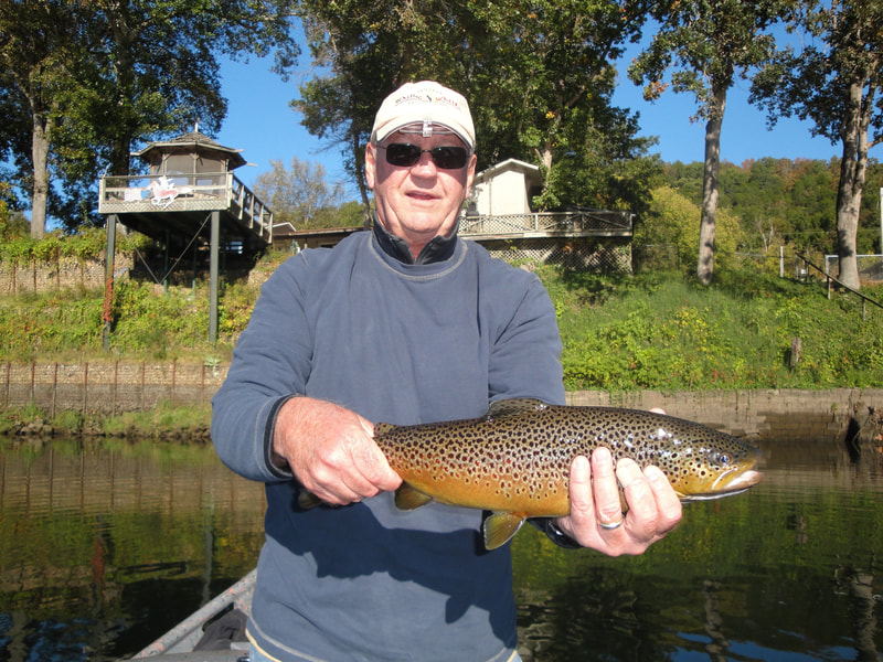
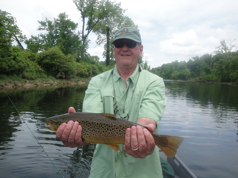
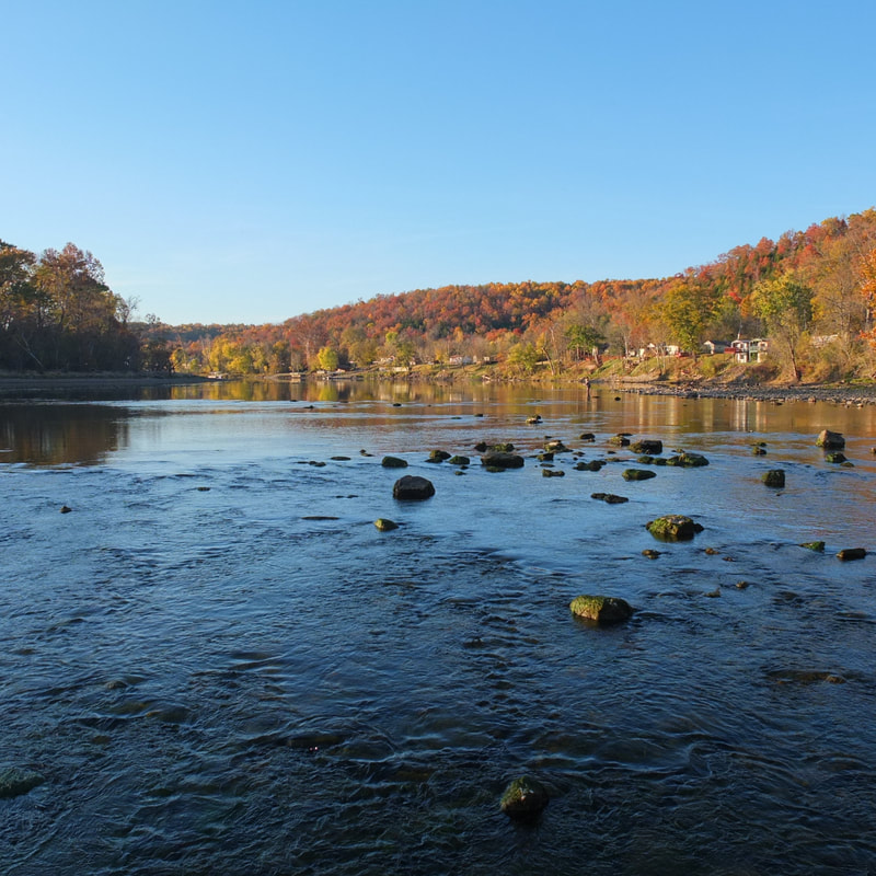
The Norfork River is only 4.5 miles long, but it offers some of the best trout fishing in Arkansas and even the country. It is the place to achieve "the slam". For those who aren't up-to-date on fishing terms, a slam is when you catch all four species of trout - brook, rainbow, brown, and cutthroat.
There are four public accesses built and maintained by Arkansas Game and Fish Commission, the Corps of Engineers and the Norfork Hatchery along this 4.8 mile long tailwater. Maps are available in the free AGFC Trout Guidebook. GPS Coordinates are provided as a convenience and have not been verified physically. The information provided on this website is offered as a public service. Readers assume all risk and responsibility.
The tailwater is subject to strong and variable currents. Please use common sense and take precautions such as: fish with a friend, wear a wading belt, and consider using an inflatable life jacket and a wading staff. Watch for changes in water levels and get out immediately if you hear the horn or notice rising water.
Fishing Access Type:
Boat - Guided
Kayak Yes under safe generation
Wading Yes under safe generation
Boat - Guided
Kayak Yes under safe generation
Wading Yes under safe generation
Fishing Access:
Dam Site
Map
Bill Ackerman River Ridge Access
Map
White River Confluence
Map
Dry Run Creek
Map
Dam Site
Map
Bill Ackerman River Ridge Access
Map
White River Confluence
Map
Dry Run Creek
Map
Fishing Style:
Nymph
Dry Fly
Spinner Fall
Midge Larva
Midge Pupae
Terrestrials
Streamers
Nymph
Dry Fly
Spinner Fall
Midge Larva
Midge Pupae
Terrestrials
Streamers
Equipment:
4wt to 6 wt rod
4wt to 6 wt rod
Flies:
Hatch Chart
Hatch Chart
Water Flow:
Data
Data
Species:
Rainbow Trout, Brown Trout, Cutthroat Trout, Bonneville Cutthroat Trout
Rainbow Trout, Brown Trout, Cutthroat Trout, Bonneville Cutthroat Trout
Misc. Information: Fishing License
